HOTA Reconstructed.
About.
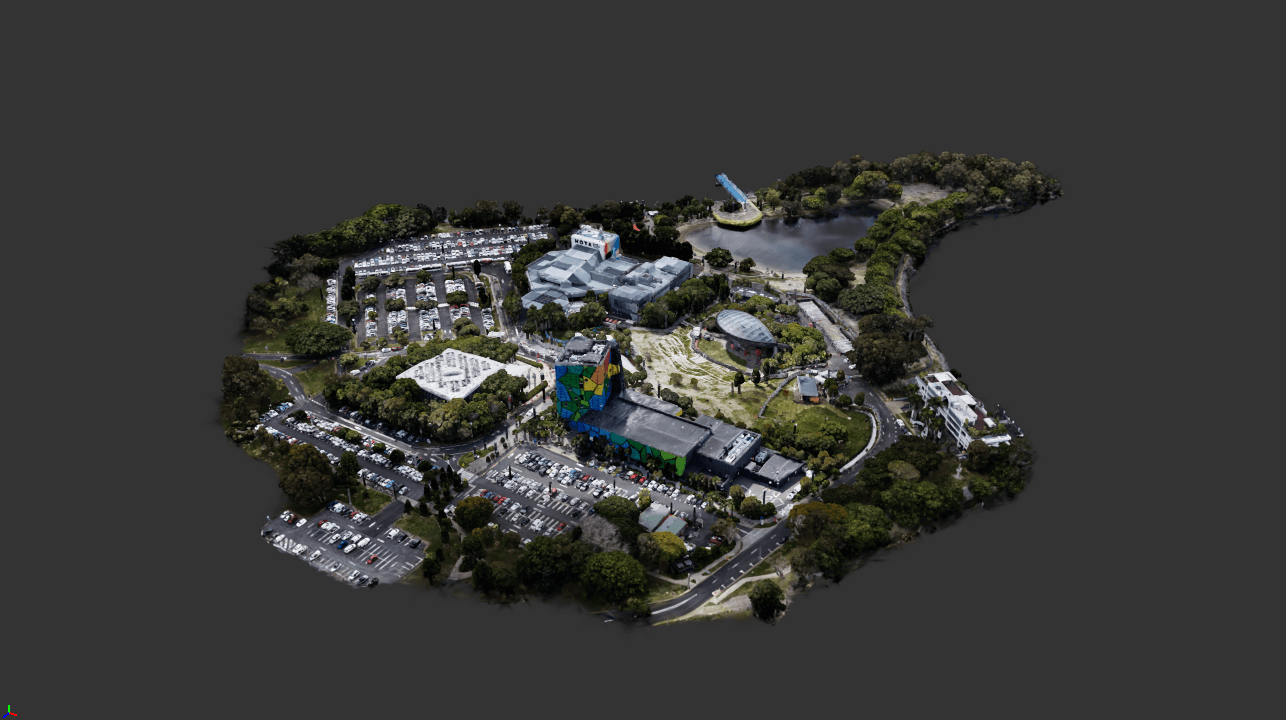
HOTA Reconstructed is an interactive, browser-based virtual tour of the Home of the Arts precinct on the Gold Coast. With the click and drag of a mouse, users can view the precinct in three-dimensional space, exploring a range of hotspots like the main theatre, outdoor stage and visually stunning gallery building in high fidelity.
The aim of this project was to make exploring this iconic Gold Coast cultural landmark accessible to anyone with internet and a web browser. Online maps and images can only get you so far when you want to check out a place you are interested in or plan on visiting. This is where the power of Gaussian Splatting is unleashed. The ability to navigate around the area intuitively and unrestricted gives the user total control in their viewing experience and a level of immersion that is not offered anywhere else.
This project is a proof of concept to show the power of this revolutionary volumetric capture method. Virtual tours are only one avenue it can be deployed. Site visualisation, location scouting, heritage / cultural preservation, Archvis, real estate and XR / immersive media are just some of the other sectors that could utilise this technology. It’s exciting to think of the potential.
Process.
The process began with scouting a location. I chose the HOTA precinct for its visual richness and its connection to art and design here on the Gold Coast. The area was then captured in several drone video passes at different angles and distances. Great care was taken to keep the lighting even and consistent across all passes so that the final asset would be visually cohesive.
The videos were then processed in RealityScan, which extracted the best frames and aligned them to estimate camera positions and form a 3D point cloud of the area. This data was then imported into Postshot, where the radiance field (a Gaussian Splat) was trained. Simply put, the software optimises millions of small blobs, or Gaussians, until together they match the source images. Each Gaussian stores information such as position, scale, opacity and colour. Its colour is encoded as spherical harmonics, which let its appearance change depending on the angle it’s viewed from.
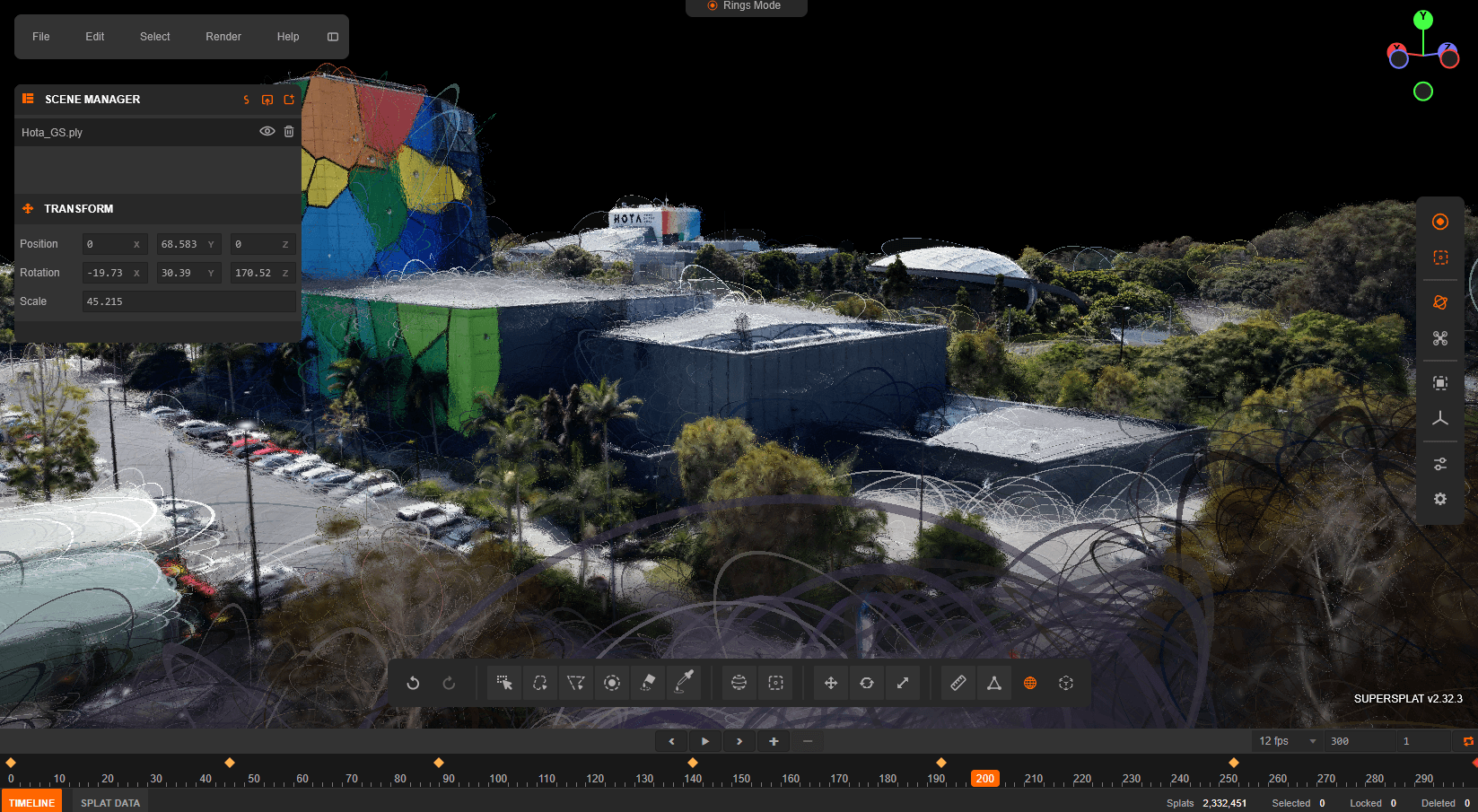
Once training was complete, the 3DGS asset was exported and opened in SuperSplat for clean-up, editing, POI placement and camera animation. After these final steps, the asset was exported and ready for web hosting.


User testing.
Three users were invited to sit down and explore the tour at their own pace, with no instructions on how to use it. Afterwards, each was asked the same four questions.
How did you find this experience compared to a traditional online map or images?
All three users said that compared to traditional maps or images, this was a far more immersive way of exploring a space.
“...man the level of detail is awesome”
From 1 to 5, how likely would you be to use something like this again?
They all rated it a 5/5 when asked if they would use something like this again.
Was anything confusing or frustrating while you explored?
There was a unanimous response about the ease of use.
“yeah it's super easy to use, I wouldn't say it's confusing at all”
Any other thoughts or feelings about the experience?
One user mentioned that it would be really cool to implement a VR feature, which is something I will be working on implementing as the project develops.
What's next?
The future prospects are looking exciting. Firstly I will be working to develop VR/AR support for the tour to really add that next level of immersion. Moving forward I have a few ideas for the site I would like to capture and 'reconstruct' next. There is a big list of improvements that I have already made, one of them being planning on scanning the next site with a mix of both drone imagery and ground level camera passes to hopefully take the level of detail and fidelity to a whole new level. If you have any thoughts, questions or ideas, feel free to reach out to me via the contact page!

